Project:
Common Ground
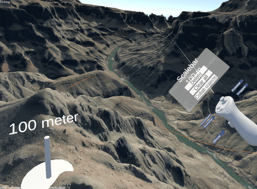
Common Ground
Gold, L., & LiKamWa, R. (2024). Enhancing Cross-Virtuality Collaboration for Geospatial Data Visualization. AGU24.
This work explores techniques for improving collaboration between VR and desktop users in geospatial analysis, including scale-responsive mouse cursors and vistas. We introduce Common Ground, a networked overlay system that integrates with existing GIS software, enabling users to coordinate effectively across different map scales. While demonstrated in planetary geology, Common Ground has broader applications in fields requiring multiscale, multi-perspective data analysis, such as medical imaging (where both 3D scans and 2D images are analyzed), urban design (for coordinating large-scale planning and detailed architectural designs) and environmental monitoring (to assess changes across local and global scales).