Project:
PLANETARY PARFAIT


Planetary PARFAIT
LPSC ’25
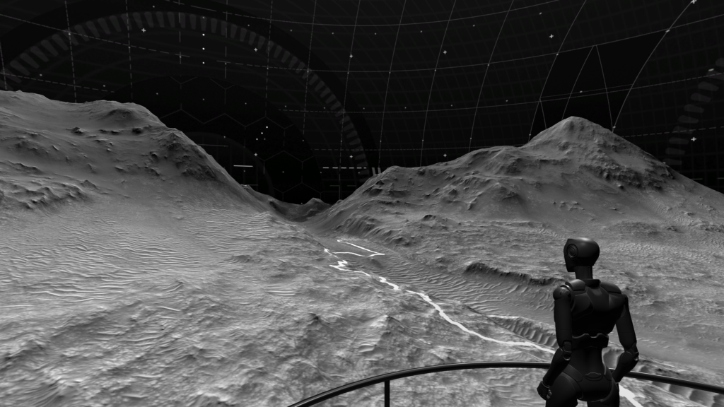
Studying layers of orbital and drone-based remote sensing data allows scientists to understand the geologic history of planets. Such data provide geological context, but limitations of existing 3D visualization tools force domain experts to resort to older 2D tools that do not effectively support collaborative visual analysis. To explore the integration of collaborative 3D visualization into scientific workflows, we developed Planetary Parfait – a visualization system for interactively accessing planetary datasets to allow collocated and remote users to collaborate across VR, AR, and desktop platforms.
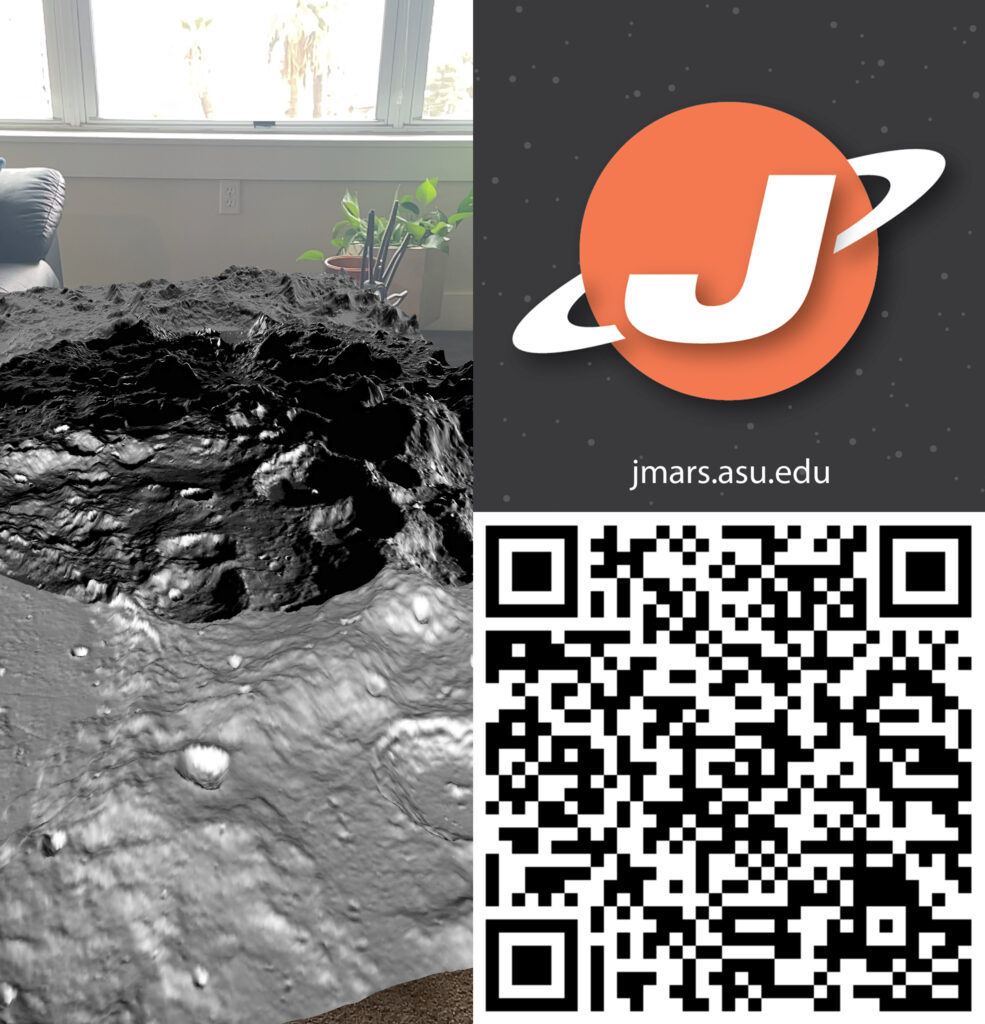
Scan the QR code on the left to see the Perseverance Rover’s landing site, Jezero Crater, Mars.